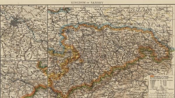
An integral component of the historical study of elections is geography since electoral districts are spatial entities. With recent advancements in GIS technology, we have been able to revisit historic maps, reconstruct them in a digital format, and harness them for the purposes of a richer analysis. Some maps are here:
*Jeffrey Blossom and Daniel Ziblatt “Electoral District Boundaries, Germany, 1890-1912” Harvard University Geospatial Library (2011)
*Konstantin Kashin and Daniel Ziblatt, "Administrative District Boundaries, Germany 1890s" Harvard University Geospatial Library (2012)